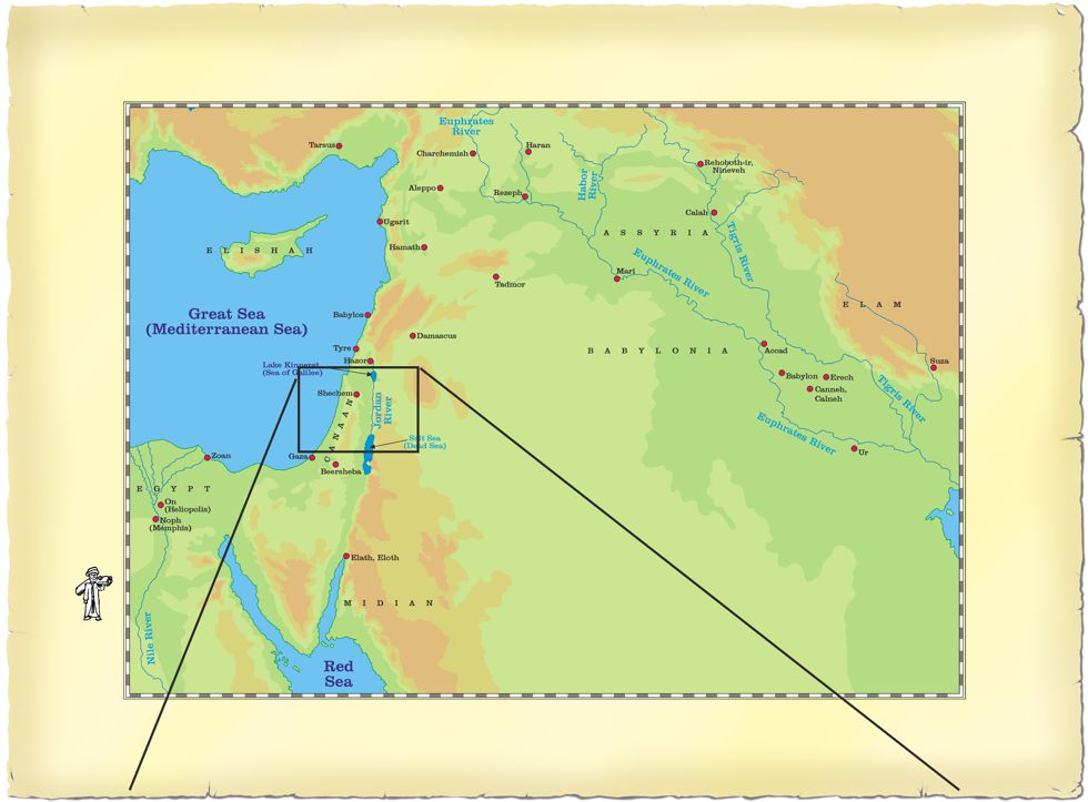
Map - Luke 02 - The Nativity routes
Description of possible route(s) taken by Joseph & Mary.
Over 2000 years ago, Joseph & Mary made the journey from Nazareth in Galilee (northern Israel) to Bethlehem, their ancestral “home town”, a few miles south of Jerusalem (West of the Dead Sea). Because of the threat of bandits on the roads, it is quite likely the couple travelled with a caravan of other travellers, for mutual support & safety. There could have been other people returning to Bethlehem (& other central & southern villages, towns, cities) for the census.
We don’t know the exact route Joseph & Mary took, since that is not recorded in the Gospel accounts. However, there are two probably ones:
Route 01) The Trade Route – marked with a purple dashed line on my map (see below).
Route 02) The Jordan River Valley Route – marked with a red dashed line on my map (see below).
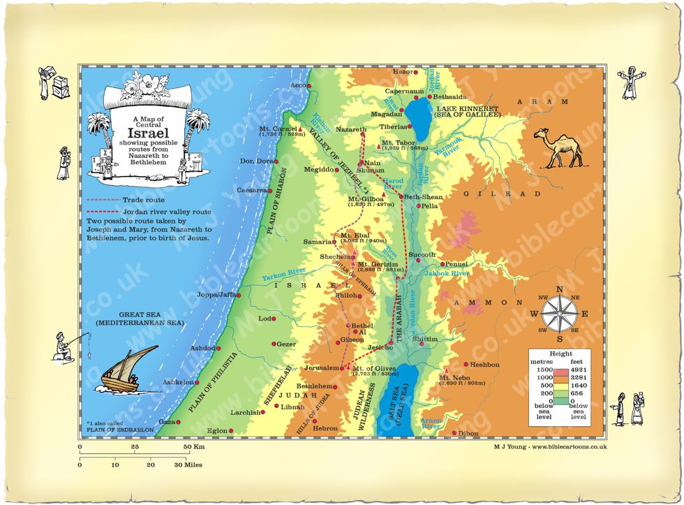
Map showing two possible routes taken by Mary and Joseph when they traveled from Nazareth in Galilee to Bethlehem
Route 01 is shorter (approximately 80 miles (129 km), but the walk would have been more demanding, since it traverses hills in Samaria (in central Israel). There is also the “social landscape” to take into account – in that the Jews hated the Samaritans, & the other route (what I’ve called the Jordan River Valley Route) allowed Jews to circumvent Samaria altogether. The Trade Route would also have exposed the travellers to more arid conditions, due to the elevation of their surroundings.
Route 02 is the flatter way, running as it does through the Jezreel valley into the Jordan River Valley, which would have been easier going for the pregnant Mary. This route is longer, being approximately 90 miles (145 km) in length, but the climate in the valleys would have been more comfortable than the arid hills of Samaria. Joseph, Mary & any others who travelled with them would still have been obliged to make the steep 16 mile (26 km) climb up the road from the Jordan valley near Jericho to the heights on which Jerusalem rests. In Jesus’ time, this section of the road was called “the Way of Blood”, because of the danger from robbers. Incidentally, this section of road is where Jesus’ parable of the Good Samaritan is set. It ascends 3,500 feet over 16 miles, which makes for quite a steep gradient.
Travelling at about 10 miles per day, it would have taken Joseph & Mary about 8-10 days to reach their destination. Regardless of the route, the journey would have been quite arduous & was probably a scary prospect for the young, pregnant mother.
There is an interesting description of the Trade route version of the journey Joseph & Mary may have taken between Nazareth & Bethlehem here: http://www.welcometohosanna.com/LIFE_OF_JESUS/002_NazarethToBethlehem1.htm
http://www.welcometohosanna.com/LIFE_OF_JESUS/003_NazarethToBethlehem2.htm
A note about the Jericho-Jerusalem road.
The road from Jericho to Jerusalem is mentioned in the account of King David’s flight from Jerusalem at the approach of his son Absalom, who sought to usurp him (see 2 Samuel 15:13-16:14.) The road is mentioned more vaguely in the following places:
01) 2 Kings 25:4 – King Zedekiah’s thwarted attempt to escape the Babylonians.
02) Mark 10:46-11:1 – The account of Jesus healing the blind beggar Bartimaeus.
03) The road is also the setting for the Good Samaritan parable which Jesus told (see Luke 10:29-37)
Return to BC Encylopaedia Index page